Belize holds a special place in Cathie’s heart. It is where she spent the first eight years of her life. I feel this shaped the values she has today. Surrounded by this vibrant culture from a very young age, Cathie was able to appreciate the enrichment diversity brings to our lives.
Also Belize is where Cathie and I came for our wonderful honeymoon 20 years ago. 🥰 .
OK, back to this trip. Before leaving Puerto Rico we stocked up quite well, making a few Costco runs, grocery runs, and getting fuel.
The plan was to sail from Puerto Rico to Belize in one go, this would have been 1300 nautical miles. That’s about 2400 kilometers straight line, like Vancouver to somewhere in Ontario. And we go about 10 kilometres/hour.
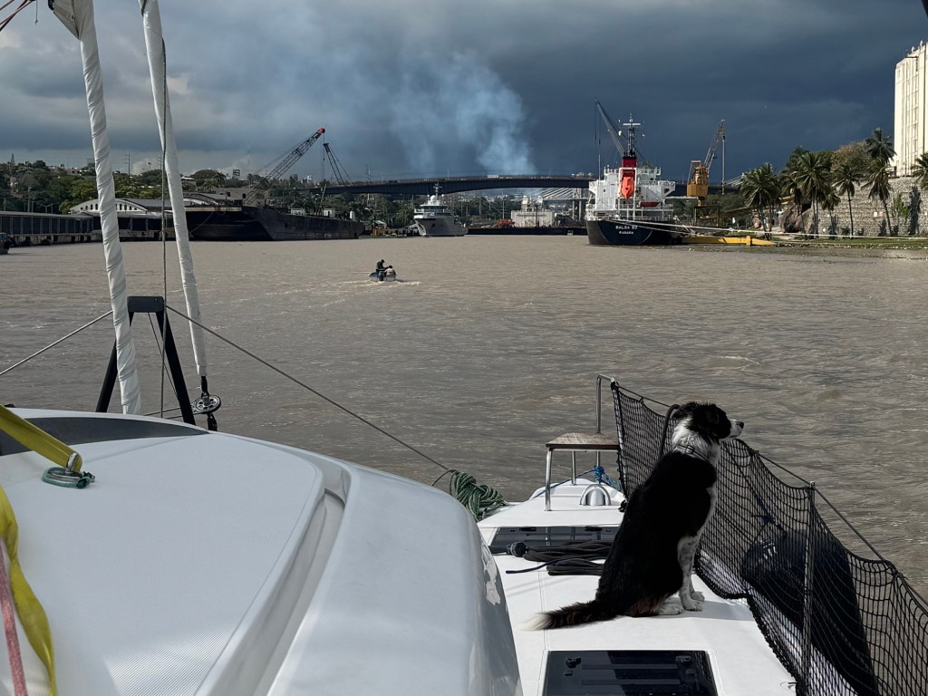
After leaving Puerto Rico we discovered our starlink wasn’t working correctly, so we could not get weather updates on route. Weather information is pretty important, and with it not available we decided to divert to plan B, a stop in Dominican Republic.
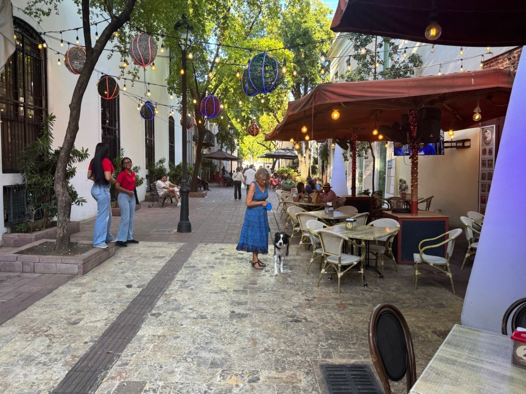
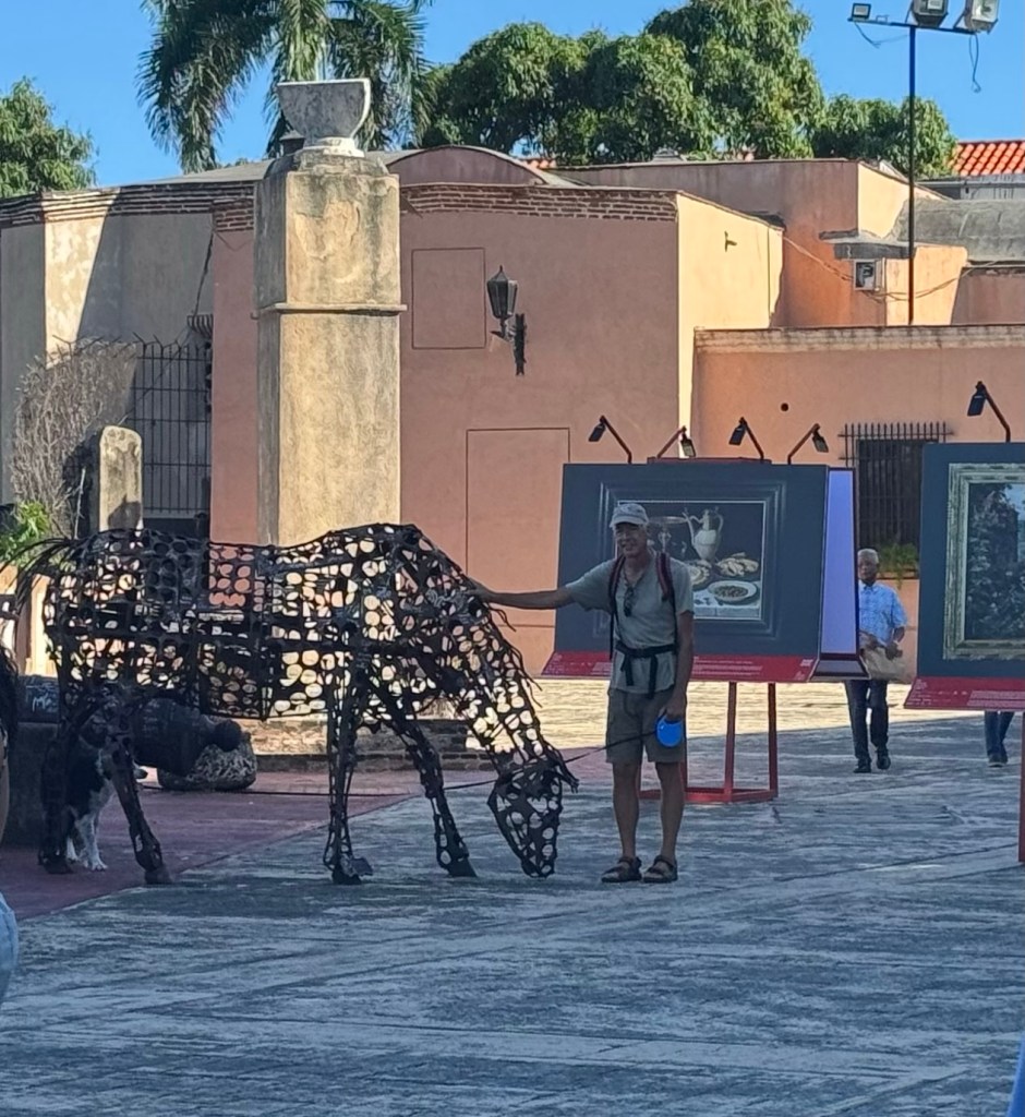
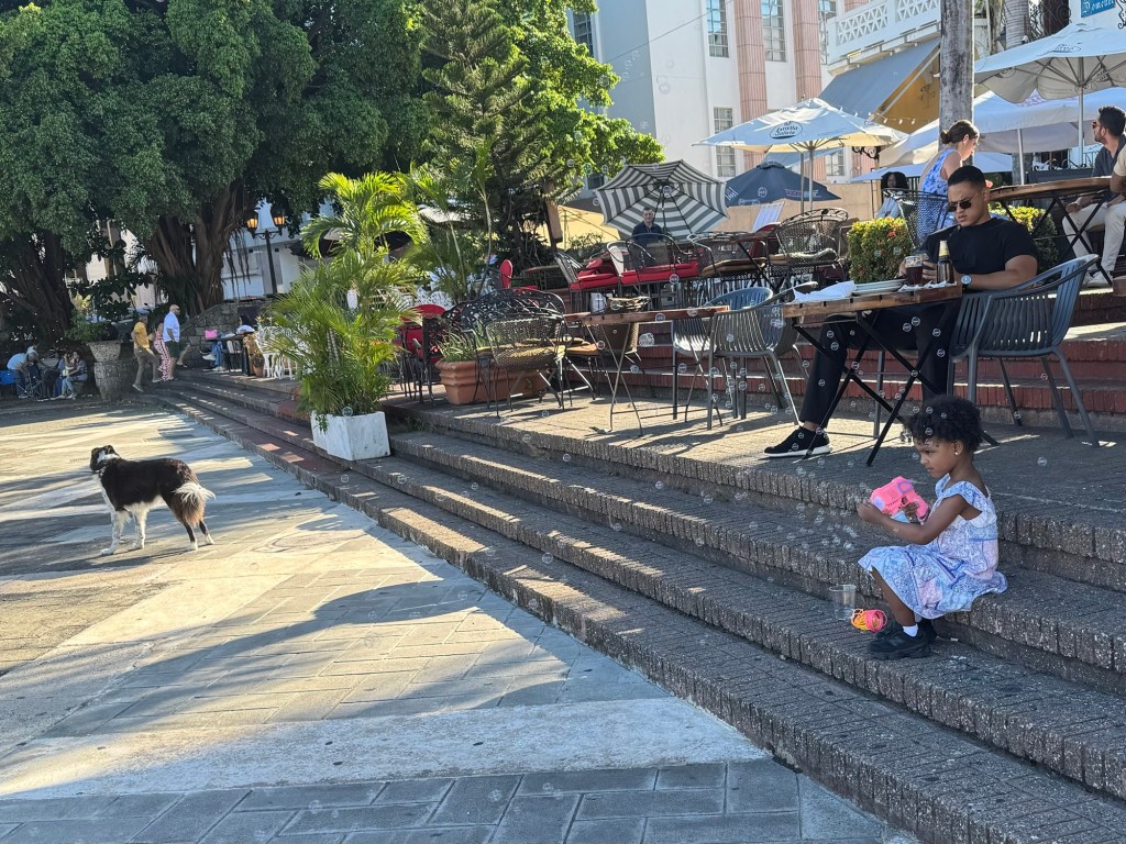
It was a great stop in the city of Santo Domingo. The people in the marina were so friendly and helpful. They made checking in and out of the country very smooth. We also took time to check out some of DR.
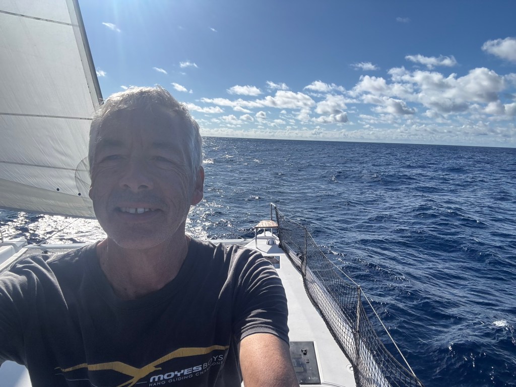
With starlink now working we were ready to push on to Belize. Another good weather window came, and so it was time to go. It would be 1000 NM to Belize, our longest passage so far.
It’s was kind of a funny feeling leaving Santo Domingo with the friendly people seeing us off, and not knowing what lies ahead, but we were well prepared with our routes and weather data.
The weather app is pretty slick. We had downloaded weather data, entered our boat sailing characteristics, factor in how we sail, ie. slowed down at night, avoid big waves, etc. Then the app “Predict wind” looks at the winds, currents and waves, and figures out a route for us. Actually four routes, based on four different weather models, we pick one, then follow it. Most of the routes take a very similar path. After a few days we download weather data again, and new routes are calculated based on the fresh data.
I won’t bore you with day by day reports (as I don’t have any) and the days just roll into one blur.
However, we started out with confused seas, not lying down from previous days winds. We had light winds also at the beginning, (first few hours) this was a little frustrating getting bounced around and going very slow. We didn’t want to start the engines on day one, as fuel is hard to find on a ten day passage.
Anyways the seas did lie down after a couple hours, and the winds woke up.
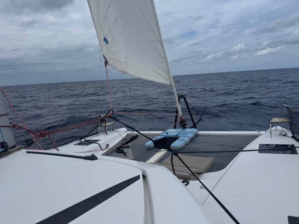
Oh yeah, sorry not hour by hour 🥱. Well fast forward several sleeps and we get to the wet days. Very low clouds, lots of rain, poor visibility. I think we saw 5 stars in total over 4 nights, and didn’t see the sun at all. We were passing ships less than 3Nm away and couldn’t see them, except on the chart plotter. Love the AIS. We also used the radar a lot. Normally we just need it at night to watch for squalls, but with 2-3 mile visibility in all directions we needed it during the day as well. And we did hit a few squalls, up to 30 knots and some 2 meter waves (occasional 4 meter) with heavy down pours. We were a little concerned the higher waves would be extremely uncomfortable, but Catnip punched on full of confidence and the ride wasn’t bad at all.
It was very nice to wake up one morning after a 6 hour sleep (thank you very much Cathie) and see some blue sky. Well, 40% blue, and 10 plus miles visibility in every direction. The wet days were over. 😎.
We didn’t really fish much on the trip, but did find time to clean the fishing lines and rinse the lures so we will be ready for next time. 😆.
What do we do at sea? A lot of the time is spent, trimming sails, deciding when to jibe, which side of next storm to go on, reading, learning a few more fine details on the chart plotter, and deciding what to have for dinner. Cathie made wonderful meals fyi. 😊.
We also have to work out who will sleep when, and for how long. You’d think if we each slept for 8 hrs, there would be 8 hours where we could be up together, but it just doesn’t work that way. When you come on/off watch there is at least a 30 minute overlap, usually 60, as we tell each other about ships in the area, things we did, start/stop engine or change heading to avoid or get more wind/current. Plus we just want to visit for a bit. We typically sleep for 4-5 hours at a time, so that’s about 5-6 change overs per day. Then we each will adjust sails, go over latest weather data and so on. Plus entertaining Sequoia, we have these food puzzles. We put treats in them and she works at getting them out. Sequoia finds it simpler to just pull the door right off the hinges, rather than opening it the way it was designed. She’s so smart.
Then of course there’s the unexpected. This happened once when we went to unfurl the forward sail. The furler would not unroll the sail. It was jammed. Jammed good, so at first it seemed like we would have no forward sail. Then Cathie said, “could we not just unfurl it by unwrapping it ourselves”. That’s a great idea I said, and this is what we came up with. Note all the extra lines tied to “clew” lower tip of sail.
It’s not pretty to look at ..
but worked pretty well. 😀
As I write this we are less than one hour from Rangiana cut, where we will go through the Belize reef and up onto the bench. Then it’s about 20Nm. to Placencia where we will drop anchor, clear into Belize and take Sequoia for a well deserved walk. It’s also kind of a funny feeling with the passage coming to an end. Cathie and I have gotten into the rhythm of being at sea. There’s challenges and rewards. But we are also looking forward to going ashore and testing our land legs.
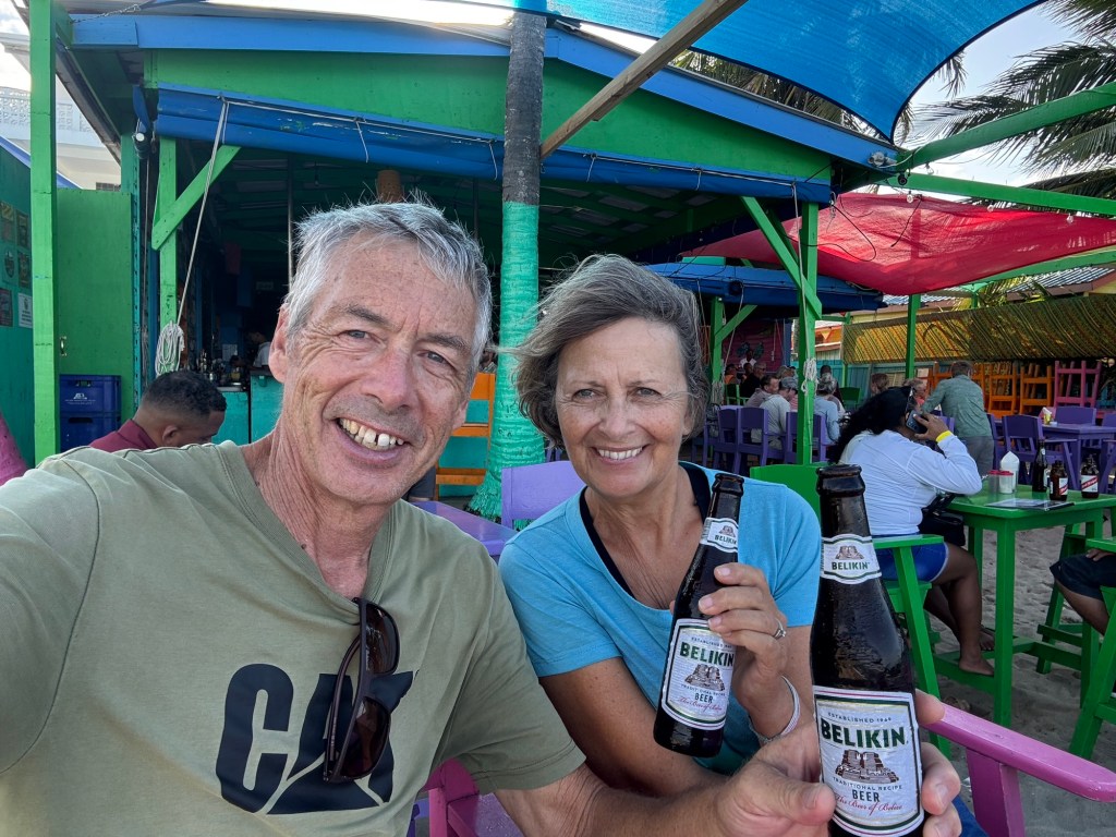
Checked in and Chillin out😎😀.
